October 17, 2016 · 5:35 am

Silver City Street Art
As my birthday approached Ursula decided to surprise me this year with a little road trip. We would be exploring the area in and around college town/art community of Silver City, New Mexico, while staying in a rustic cabin in nearby former mining town of Pinos Altos. Also on the agenda would be an excursion and hike along the famous, recently reopened Catwalk Trail (all next week) in the Gila National Forest as well as a tasty celebratory dinner at a truly gourmet establishment in Silver City (Fun Food Friday’s extensive restaurant review of Café 1Zero6).

Palace Hotel — Built in 1880; used as a hotel staring in 1900
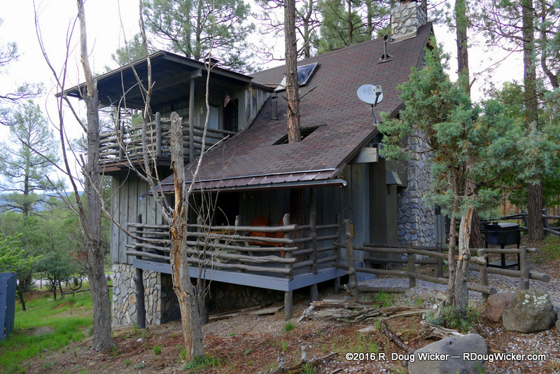
We took off early Friday afternoon, as we had exclusive dinner reservations in Silver City. Finding we had time on our hands, we initially bypassed Silver City and headed into the high elevation of Pinos Altos to check in at the Bear Creek Motel and Cabins. Ours was the charming (outside) but, in our view, overly rustic (inside) Cabin A.

Bear Creek Motel & Cabins; Cabin A
Other cabin residents disagreed with our assessment, as many told us they are frequent guests of Bear Creek. So, don’t let me dissuade you, as you may really enjoy the Old West ambience.

Palace Hotel — Built in 1880; used as a hotel staring 1900
With still almost an hour to go until our reserved time at 1Zero6, we headed out onto the streets of Silver City for some photo opportunities. I was not disappointed.

The Art Deco styling of the Murray Hotel
Filed under Automobiles and Driving, Photography, R. Doug Wicker, travel, vacation
Tagged as photography, Pinos Altos, R. Doug Wicker, scenic driving, Silver City, travel, travel photography, vacation
October 10, 2016 · 5:35 am

Head ’em up; Move ’em out
If you drive the Enchanted Circle Scenic Byway in a clockwise direction, you exit the Carson National Forest along the northeast portion of the loop. Continuing along state road NM 38 you will see grazing land, ranches, pass by the ghost gold mining town of Elizabethtown, drive through the town of Eagle Nest where NM 38 merges into U.S. Route 64, and, after a short detour, hit Angel Fire. You may even see some wildlife along the way. We came across this little guy below after departing Angel Fire to rejoin U.S. Route 64 back to Taos.

A deer friend of mine
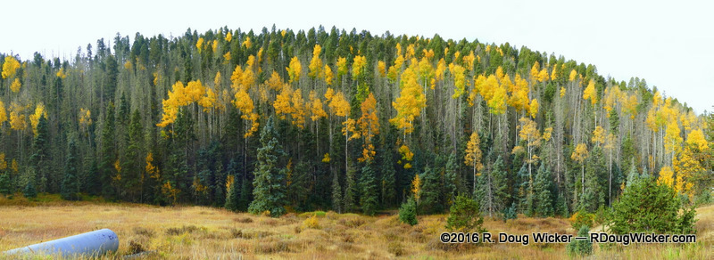
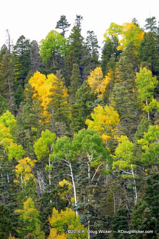
The panorama below was taken along the northeast portion of the Enchanted Circle heading toward Elizabethtown:

Along the Northeast portion of the Enchanted Circle
So, too was this ranch:

Ranch Country

Out of the Carson National Forest headed for Elizabeth Town
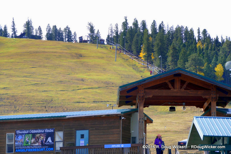
Ursula and I had been to Angel Fire before, so this one was a quick side trip without a stop for lunch:

Angel Fire Ski Resort — base: 8,600 feet; top: 2,600 meters to 10,677 feet/3,254 meters
We rejoined U.S. Route 64 and then, less than ten minutes after our encounter with the deer pictured above, we stumbled upon a scene right out of the Old West — a cattle drive. Alas, not a single 1873 Colt .45 or Winchester Model 1892 (see examples after today’s gallery below) to be seen anywhere, unfortunately:

Ranching

Move them little doggies

Herding

Modern Cowboys & Cowgirls

Cattle Drive

Horsing Around
Ranching tools of the Old West:
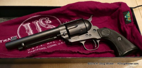
U.S.F.A. Rodeo copy of a Colt Single Action .45

Rossi copies of the Winchester Model 1892
Filed under Automobiles and Driving, Photography, R. Doug Wicker, travel, vacation
Tagged as Angel Fire, Carson National Forest, Eagle Nest, Enchanted Circle, fall foliage, New Mexico, Old West cattle drive, photography, R. Doug Wicker, Red River, Taos Loop, travel, travel photography


 Decisions — Murder in Paradise
 The Globe — Murder in Luxury