
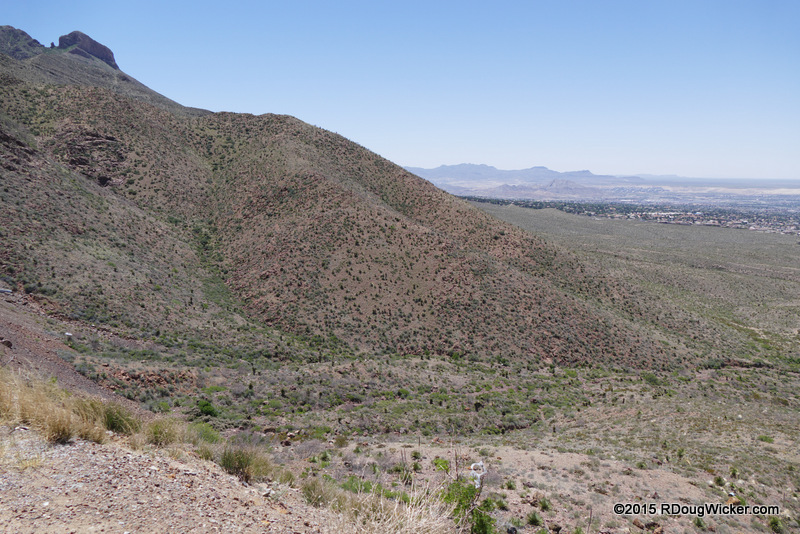
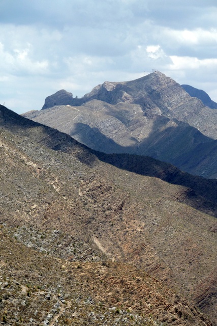
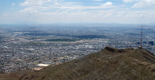
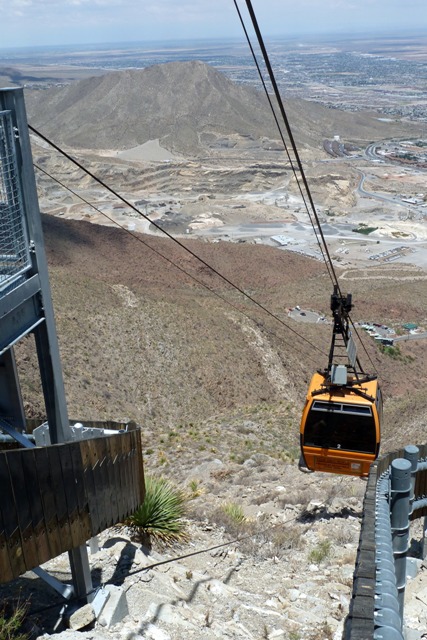
View from Transmountain Pass
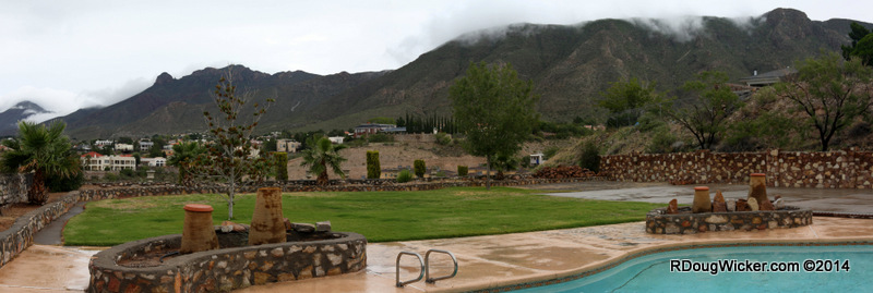
Don’t go away from the past two weeks’ worth of blog posts thinking the only things to see in the El Paso area are outside El Paso. Far from it. El Paso is a major city — 19th in the country in terms of population, and fifth largest in Texas. And it’s unique. It’s the only major U.S. city I know that is divided by a mountain chain. The Franklin Mountains divide West El Paso from the Northeast portion of town. Only a narrow strip of land between the south end of the Franklins and Juarez Mountains, through which the U.S.-Mexican border meanders, allow routine passage from west to east. This gap between the Franklins and the Juarez Mountains is the “Paso” (pass) in “El Paso”. The only other route is along Transmountain Road, which cuts through the Franklins and crests at an altitude of one mile/1.6 kilometers above sea level. That 5,280-foot/1,609-meter elevation puts you some 1,300 feet/400 meters above the surrounding desert, so from here you can get really fantastic views of two countries (U.S. and Mexico) and three states (Texas, New Mexico, and Chihuahua).
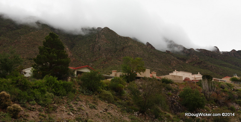
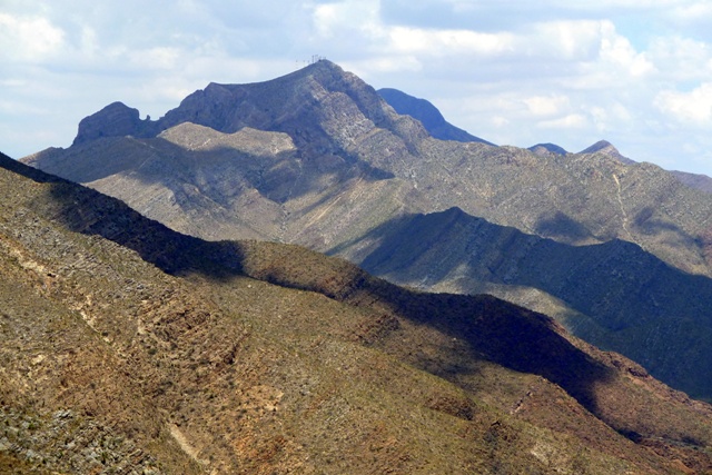
The Franklins themselves offer some very interesting sights as well. For instance, here’s a shot of Elephant Rock as seen from Transmountain Road:
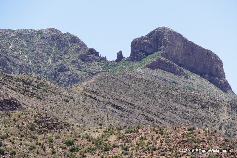
Elephant Rock — Franklin Mountains
As for this excursion to Cloudcroft and our stop at Mexican Canyon, here are my two favorite shots from that portion of our David Williams Tour:
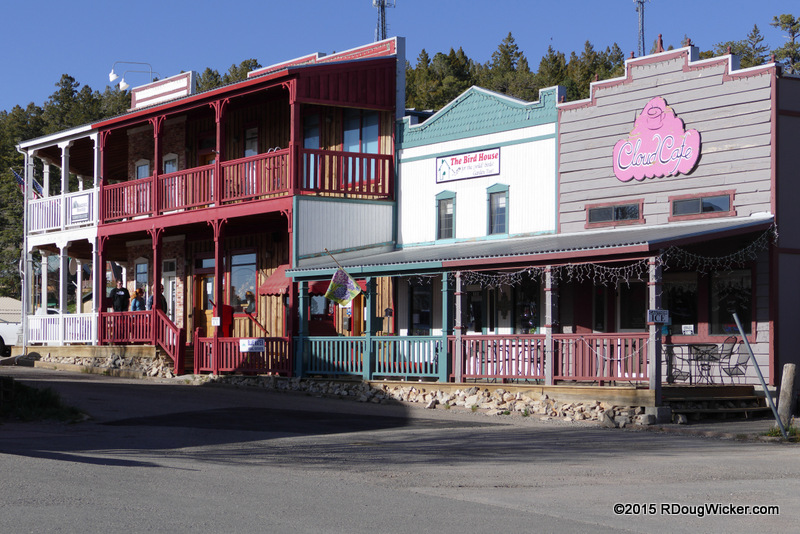
The Burrow Exchange, Cloudcroft

Last, favorite look at Mexican Canyon Trestle
By the way, if you’re reading this and other material authored by me on The Destinary website, this post was not “Posted on (fill in the date) | By destinary” as they’ve been erroneously claiming; this material was in fact reposted. The Destinary have also been claiming the right to do so, without links back to the original and without full attribution (“by RDoug” and a nonworking link is not proper attribution) with a rather bizarre interpretation of U.S. copyright law in which they claim I’m responsible for changing my RSS feed settings so that they cannot skim my material for commercial purposes. That would make reading my blog less convenient for you, which I’m not willing to do. As such, I’ll be running this little diatribe on all travel related posts until they cease and desist, along with this:
© 2015 R. Doug Wicker (RDougWicker.com)
All right reserved — that includes you, Destinary
Final note: Considering The Destinary is a site listed as owned by Sonia Bosquez-Platt of Indianapolis Tour & Travel, you may want to rethink doing business with her or her company.


 Decisions — Murder in Paradise
 The Globe — Murder in Luxury