Category Archives: travel

Win Free eBook Copies of Decisions and The Globe


It’s giveaway time here at RDougWicker.com.  Today, one lucky (and geographically smart) individual will win copies of my two murder mysteries:  Decisions and The Globe for their Amazon Kindle, Barnes & Noble Nook, or any Kindle- or Nook-enabled device (Android, Blackberry, iPhone, iPod, iPad, PC, or Mac with the Kindle or Nook reading app).  That’s a $6.98 value.  Actually, those two books are a steal at $6.98, but that’s what I sell them for—$2.99 for Decisions and $3.99 for The Globe.

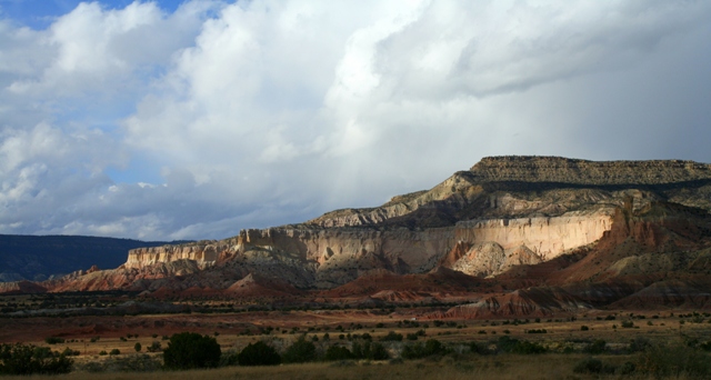
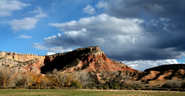
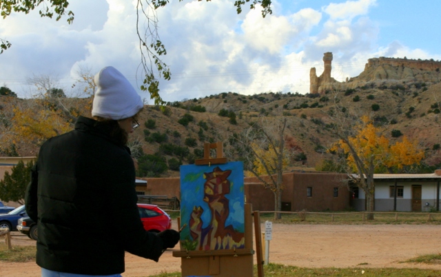
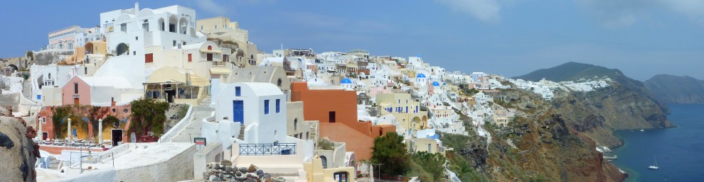
Below are seven photographs of this week’s travel blog destination, the identity of which will be revealed on either Wednesday or Friday (the actual day depends on my readers).

Here’s all you need do to win:  Take a look at the photographs below, read the hints (they’re buried in the captions), and guess the locale.  It’s that easy.  First one to guess correctly and submit to me their answers in the form of a comment wins the prize.  No purchase necessary.  Since comments from first-time commenters are screened before appearing on my blogs, I will review the comments in the order in which they are received by WordPress.

And, please, if you already own one or both of these books, hold back and give someone else a shot at them.

Here are your clues, and best of luck:

9 Comments

Filed under Author, Books, eReaders, Giveaways, Photography, travel

Fun Foto Friday


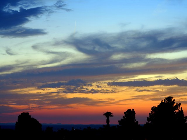
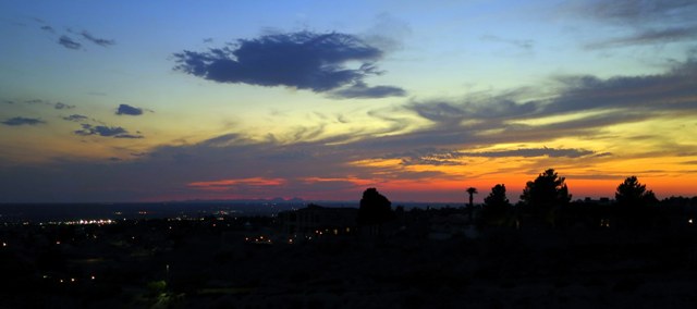
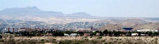
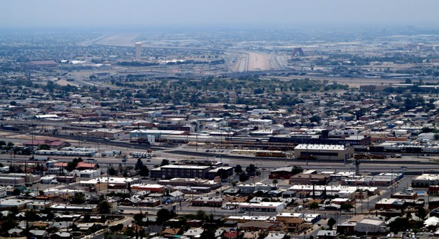
Views, sunsets, and views of sunsets.  El Paso has it all.  If you’re squeamish about heights, then perhaps the Wyler Aerial Tramway is not for you.  But keeping your two feet firmly planted upon the ground doesn’t mean that you have to miss out of views of this magnificent gem of the Chihuahuan Desert.  There are other views that may be reached by automobile or, if you’re so inclined, even bicycle.  One such place is Scenic Drive.

Unfortunately on this particular day we had in the air a thick layer of smoke.  No, not urban smog.  This smog was of the forest fire variety—in this case, from the devastating Whitewater-Baldy fire in the Gila National Forest several hundred miles west northwest of El Paso.  Yeah, the fire was that bad.  The daytime shots below were taken on June 3, and the smoke was much worse than it appears.  I managed to marginally mitigate the smokey effects by upping the contrast and increasing saturation in post-processing.

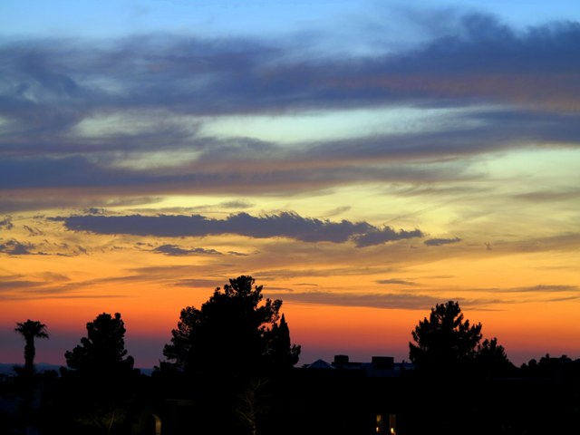
But visibility-reducing smoke during the day often means spectacular skies with vivid colors after sunset.  The twilight pictures shown below were taken June 12 after sunset.  The camera used was my new Canon PowerShot G1 X set atop a carbon fiber tripod.  Shot settings were ISO 100, 1 second exposures, with f-Stop set between f2.8 and f5.6.  Final images were tweaked in post processing for color saturation and contrast.

3 Comments

Filed under Photography, travel

Wyler Aerial Tramway—A Long Way Up and a Longer Way Down


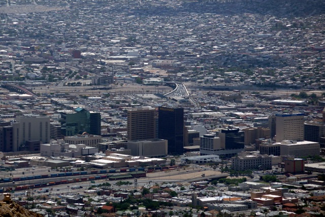
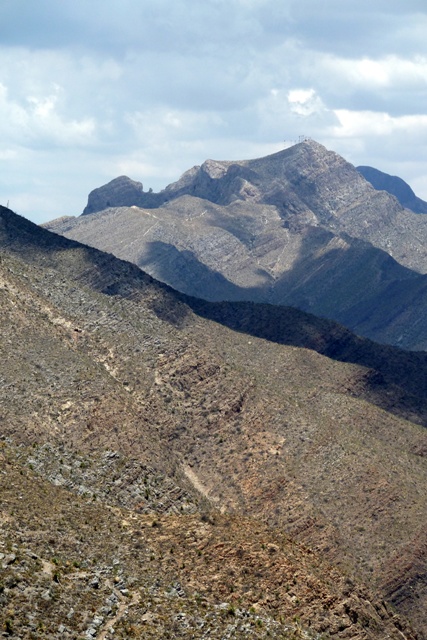
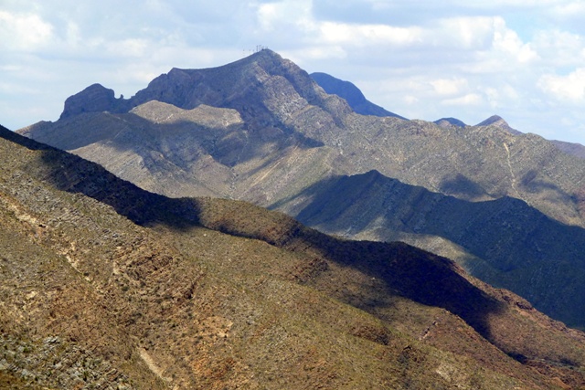
El Paso has a pretty cool distinction, as far as U.S. cities go.  It’s the only city I know of that is split by a mountain range.  I live in West El Paso, which is located on the west side of the Franklin Mountains.  Central/Downtown El Paso lies nestled below the southern end of the Franklins, in the pass formed between the Franklin and Juárez Mountains and just a river, a bridge, and a very short stroll  away from Ciudad Juárez.  East El Paso is where the El Paso International Airport resides (and where I work), as well as Fort Bliss (Army post), Biggs Army Airfield (former Air Force SAC base), and other areas of the city.  Northeast El Paso stretches along the eastern slopes of the Franklins.

Wouldn’t be great to see the sights from atop one of the peaks overlooking El Paso and Ciudad Juárez?

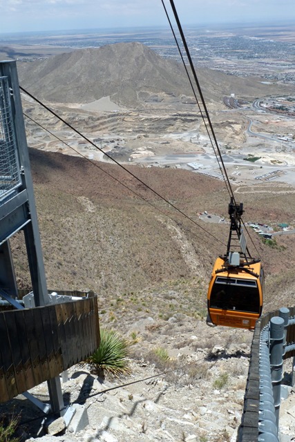
You can.  And not just by helicopter (which I did aboard an old Huey to the top of Mount Franklin back in the early ’80s).  The other ways to get there are to hike or, much less strenuous, by taking a ride aboard the Wyler Aerial Tramway.  An aerial tramway, also referred to as a cable car (unless you’re in a San Francisco cable car), consists of a passenger or cargo gondola suspended beneath two cables and pulled by a third cable.  They’re not for the height-sensitive queasy types among us, but they get the job done in relatively safe manner . . . unless you’re in one when the military is flying around either in Italy or France.

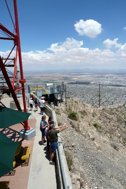
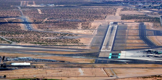
July of last year our eldest grandson came for a visit to Casa de Wicker.  So, being one of the aforementioned queasy types, I checked to see if there were any military jets in the air, downed the requisite half-bottle of Scotch (just kidding . . . kinda) and loaded him, Ursula, and myself aboard the tramway, and headed to the top of Ranger Peak some 1,700 feet (518 meters) or so above the surrounding terrain.  The actual elevation of Ranger Peak is 5,632 feet above sea level (1,717 meters), but the elevation of the El Paso International Airport (which you’ll be able to see in the distance) is 3,962 feet (1,207 meters).

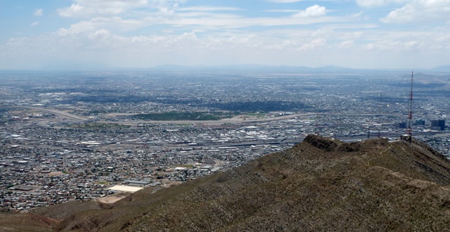
Tall enough for some fantastic views.  From Ranger Peak you can see two cities (El Paso and Ciudad Juárez), three states (Texas, New Mexico, and Chihuahua), and two countries (U.S. and Mexico).

2 Comments

Filed under Photography, travel